This article is more than 1 year old
DRAMA at 75,000 FEET: Our Playmonaut's TERROR PLUNGE from EDGE of SPACE
Plucky Reg operative finally found in remote valley
Pics We're delighted to report that our plucky Low Orbit Helium Assisted Navigator (LOHAN) playmonaut pilot is safe and well, following his dramatic rescue yesterday from a Spanish mountainside.
What started as a routine test flight of the igniter for our Vulture 2 spaceplane's rocket motor, launched in perfect conditions southwest of Valladolid ...
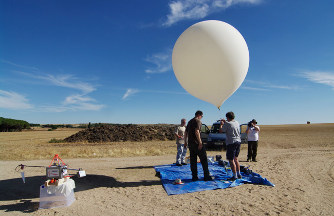
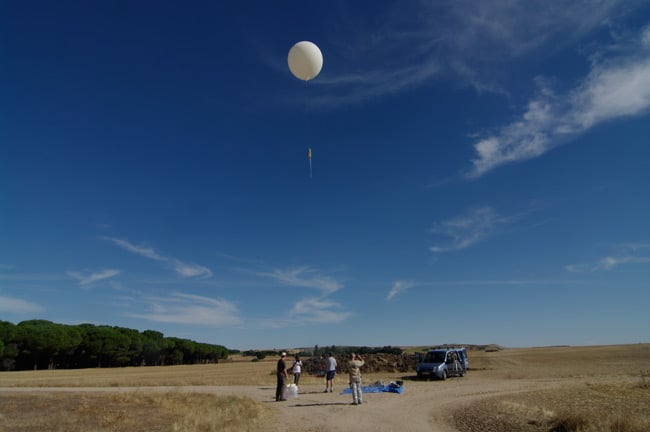
... and rising majestically above the plains of the province of Castilla y Leon ...
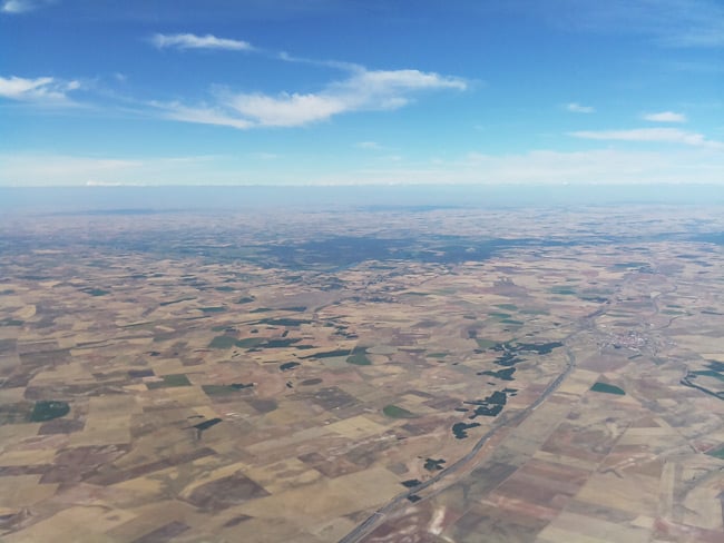
... took a turn for the unexpected when the balloon burst at 23,000m, well short of the expected 32,000m.
Our new playmonaut - undeterred by the sad fate of his illustrious veteran predecessor, who was tragically lost at sea after an earlier LOHAN test flight deviated from plan - was at the controls of the Covert High Altitude Vehicle (CHAV) aircraft, slung under the main payload box. For a bit of fun, we'd decided to use the igniter to cut down the CHAV at the aforementioned 32,000m, after which it would glide majestically to earth.
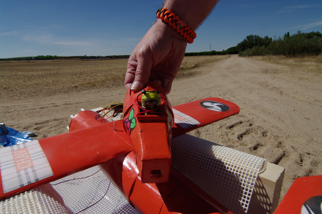
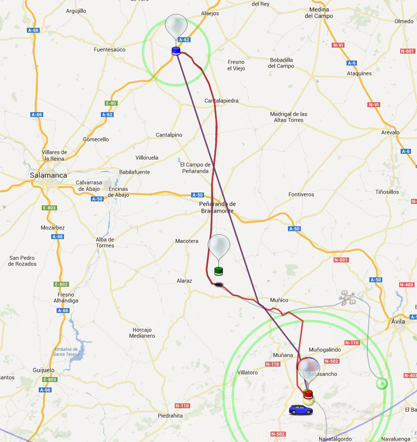
Well, that plan went titsup due to the premature emptying of our mighty helium-filled orb, so the plane came down with the payload somewhere in the mountains south of Avila.
Here's a map, with the red line showing the course of the balloon:
We lost the radio signals from the aircraft's onboard Raspberry Pi, and the main payload's Special Project Electronic Altitude Release System (SPEARS) control board and back-up PAVA tracker, as the whole shebang disappeared behind a mountain ridge.
With only the expected landing position to work with, we were obliged to drive as close as we could get, in the hope of reacquiring radio contact.
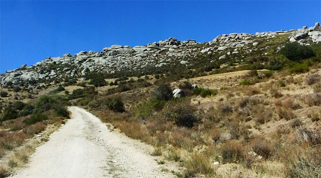
Cue a challenging drive up a dirt track...
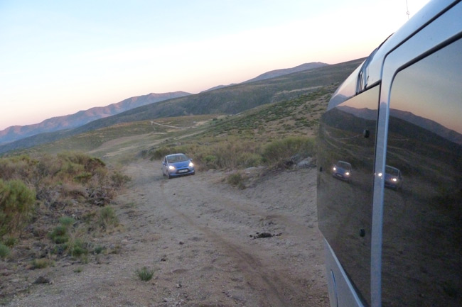
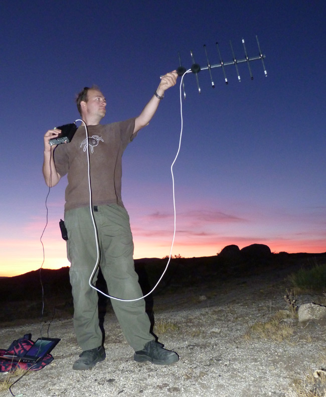
...and a sunset yomp by Dave Akerman and Rob Eastwood to a ridge from where they hoped to get a sniff of the payload. Remarkably, just as the sun was about to set, Rob managed to get a fix with a handheld antenna:
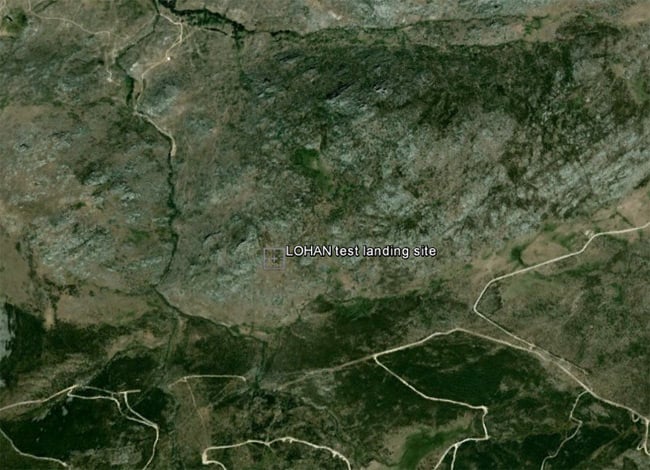
Obviously, a night-time rescue was out of the question, so the next day myself and Dave Akerman jumped back in the van and plotted a route to to take us as close as possible to the landing site, at 40.504211,-4.944428 (.kmz here):
Once we'd driven around 7km up the obligatory dirt track...
