This article is more than 1 year old
Africa poses for 7,000 snap mosaic
Fine cloud-free view from Europe's Sentinel-2A satellite
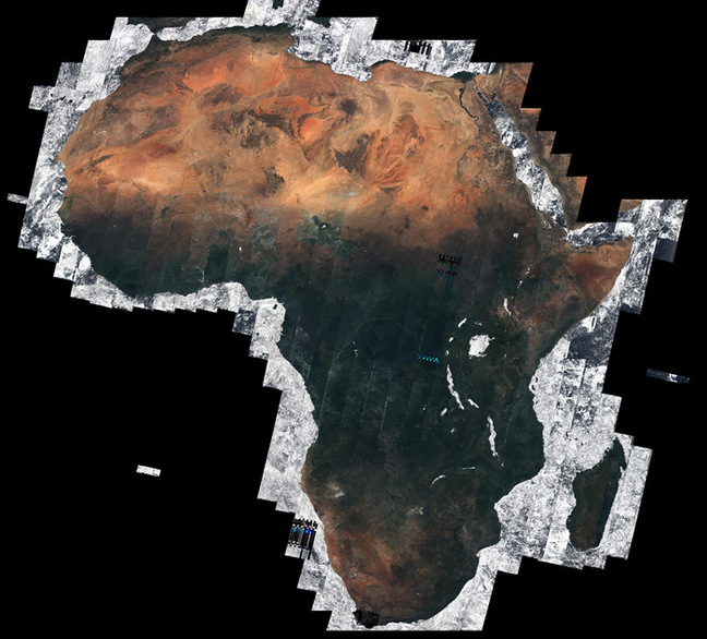
Boffins have used 7,000 images from Europe's Sentinel-2A Earth-watching satellite to construct a fine mosaic of Africa, shown entirely cloud-free in all its continental glory.

Clear skies over Africa
Most of the images - totalling 32 TB of data - were snapped between December 2015 and April 2016, the European Space Agency (ESA) explains.
From its 786 km altitude polar orbit, Sentinel-2A's multispectral imager captured Africa in 290 km-wide swathes.
Although due to the satellite's "10-day revisit at the equator, the chance of imaging Earth's surface when the skies are clear is relatively high", ESA notes that "being able to capture the Tropics cloud-free over the five months is remarkable".

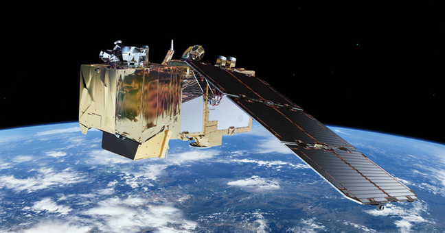
Sentinel-2 satellite. Pic: ESA / ATG medialab
Sentinel-2A forms part of the Copernicus Earth observation programme, mainly contributing "information for agricultural and forestry practices and for helping manage food security".
It's due to be joined aloft in 2017 by Sentinel-2B, which will travel the same orbit in the same direction as 2A, but situated 180° apart from its twin. Once fully operational, the Sentinel-2 constellation will "cover all Earth's land surfaces, large islands, inland and coastal waters every five days at the equator".
ESA has a gallery of Sentinel-2A images for your viewing pleasure right here. ®
